COOK, James;
A Chart of the Southern Hemisphere, Showing the Tracks of Some of the Most Distinguished Navigators
1777, 570 x 550mm, Engraving on paper
1777, 570 x 550mm, Engraving on paper
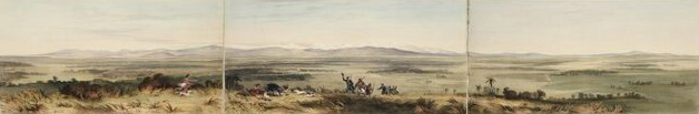
1845, 240 x 1420mm, Hand-coloured lithograph on paper
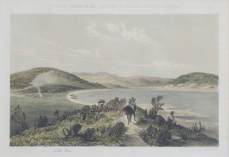
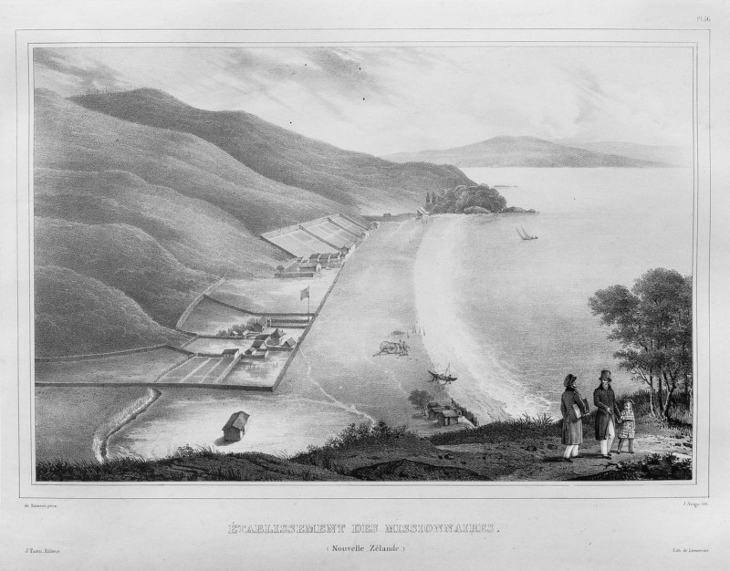
1845, 235 x 370mm, Hand-coloured lithograph on paper
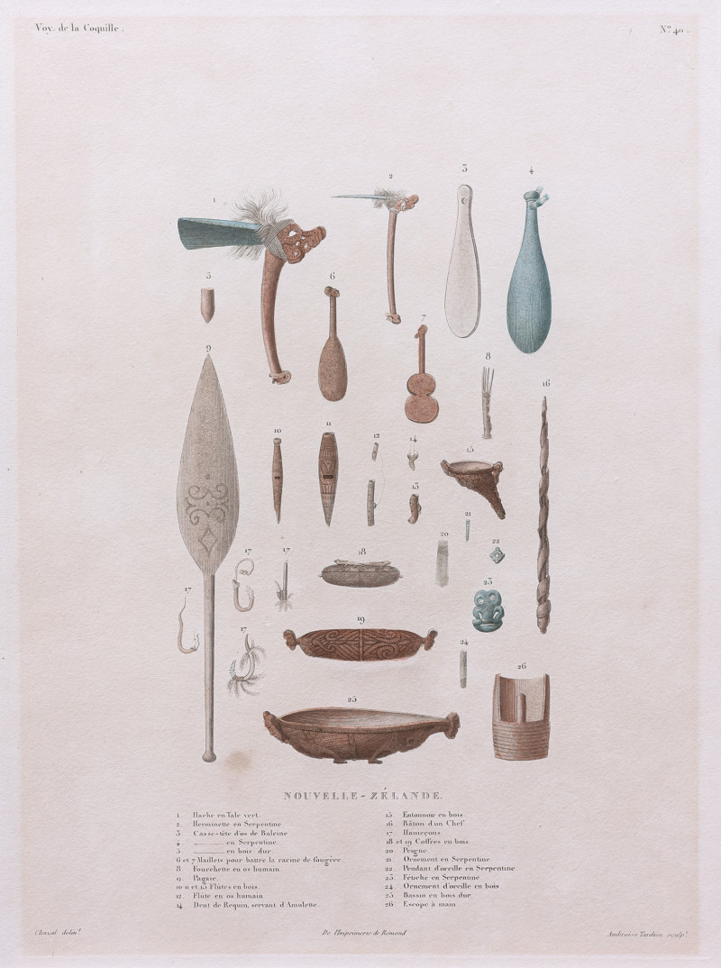
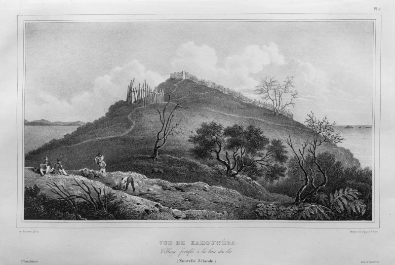
1826, 555 x 340mm, Hand-coloured engraving on paper
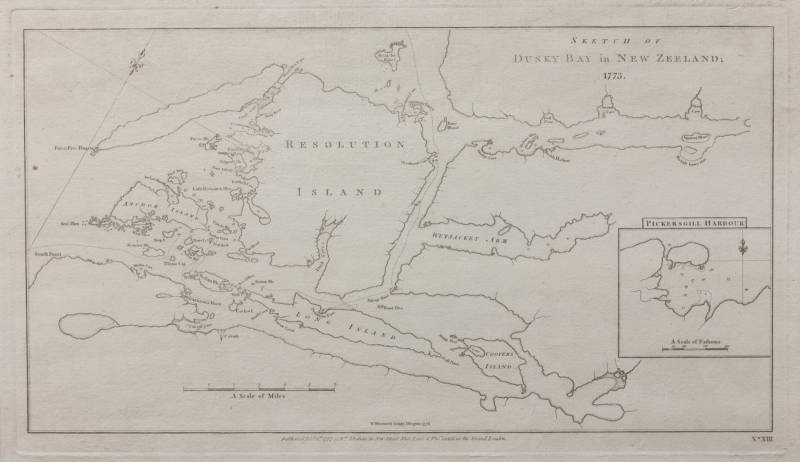
1777, 220 x 175mm, Engraving on paper
1777, 220 x 175mm, Engraving on paper
1777, 220 x 175mm, Engraving on paper
1777, 240 x 185mm, Engraving on paper
1777, 370 x 225mm, Engraving on paper
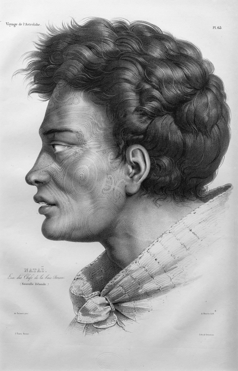
1833, 471 x 339mm, Lithograph on paper
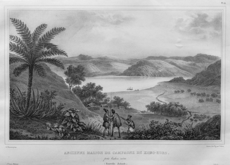
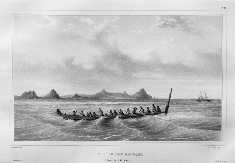
1833, 327 x 419mm, Lithograph on paper
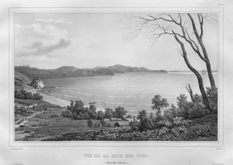
1833, 325 x 495mm, Lithograph on paper